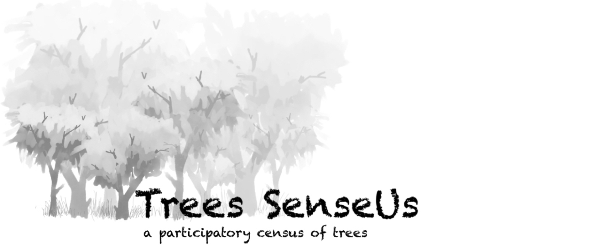
Trees SenseUs is an initiative started to provide a participatory mapping platform for tree census. This can be scaled up from smaller neighbourhoods to wards, and even to the entire city. The video below is a glimpse of the two methods, using a web-form and using the ODK Collect Android app. The geotagged data gets instantly sent to the ODK Central cloud server and will get published on the CityResource platform after processing. You can find video instructions below for the 2 different ways in which you can map trees. You can even see the data populate on an interactive satellite map on this page soon. Write me an email and I will send you the data you collected.

This work is licensed under a Creative Commons Attribution 4.0 International License