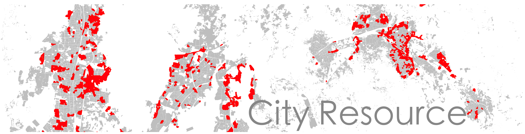
These are some of the capacity building workshops, trainings, seminars, talks and news articles that have occurred in the past. Trainings and workshops can be tailor-made depending upon the background of participants. Academic institutions, NGOs and community based organizations are strongly encouraged to go through these workshops.
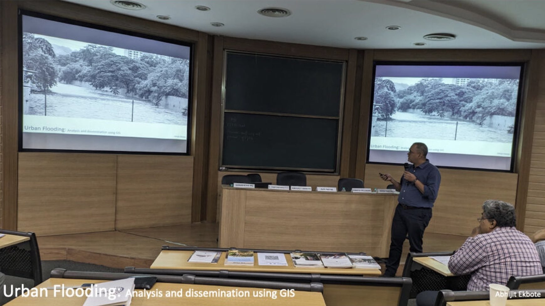
Gave a talk and presented at IIT Bombay on Urban Flooding, Analysis and Dissemination using GIS. In my talk I could share the tools and methods which can be used to explain the phenomenon of flooding in simple ways. The event was called Urban Waters Forum 2024 organised by WIPRO Foundation and the title of my panel was "Understanding Flood Management In Mumbai". Grateful to WIPRO Foundation for the opportunity.
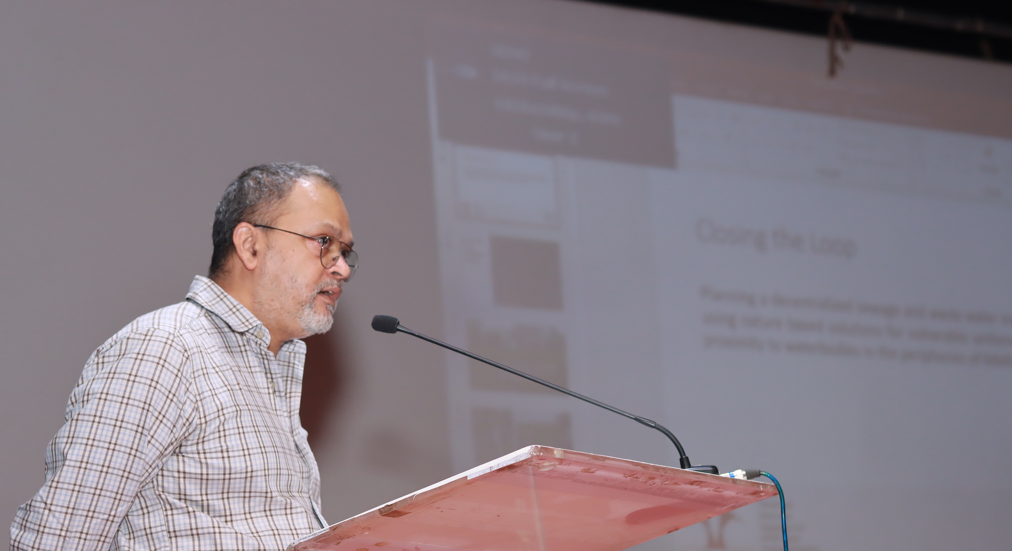
Presented SPARC's ongoing UNDP funded project 'Closing the loop' at the Indian Council of Social Science Research (ICSSR), Kalina, Mumbai. The theme of this national seminar was 'Bridging Equity and Sustainability: Inclusive Climate Action for G20 Summit Goals in India'. Our project 'Closing the loop' deals with restoration of waterbodies through treatment of wastewater and sewage using nature based solutions in the peripheries of MMR.
The focus of the workshop was to address challenges in co-creating ecological, green spaces within vulnerable neighbourhoods in Mumbai. Over a period of two-days through presentations and panel discussions on select topics and valuable insights by several experts were shared to further the joint efforts of WRI India and the BMC in implementing greening through participatory and community-led approaches. A presentation was made here to show how a GIS based participatory mapping process can lead to an interactive and dynamic dashboard on open spaces, which is publicly viewable. The proceedings of the workshop can be found here
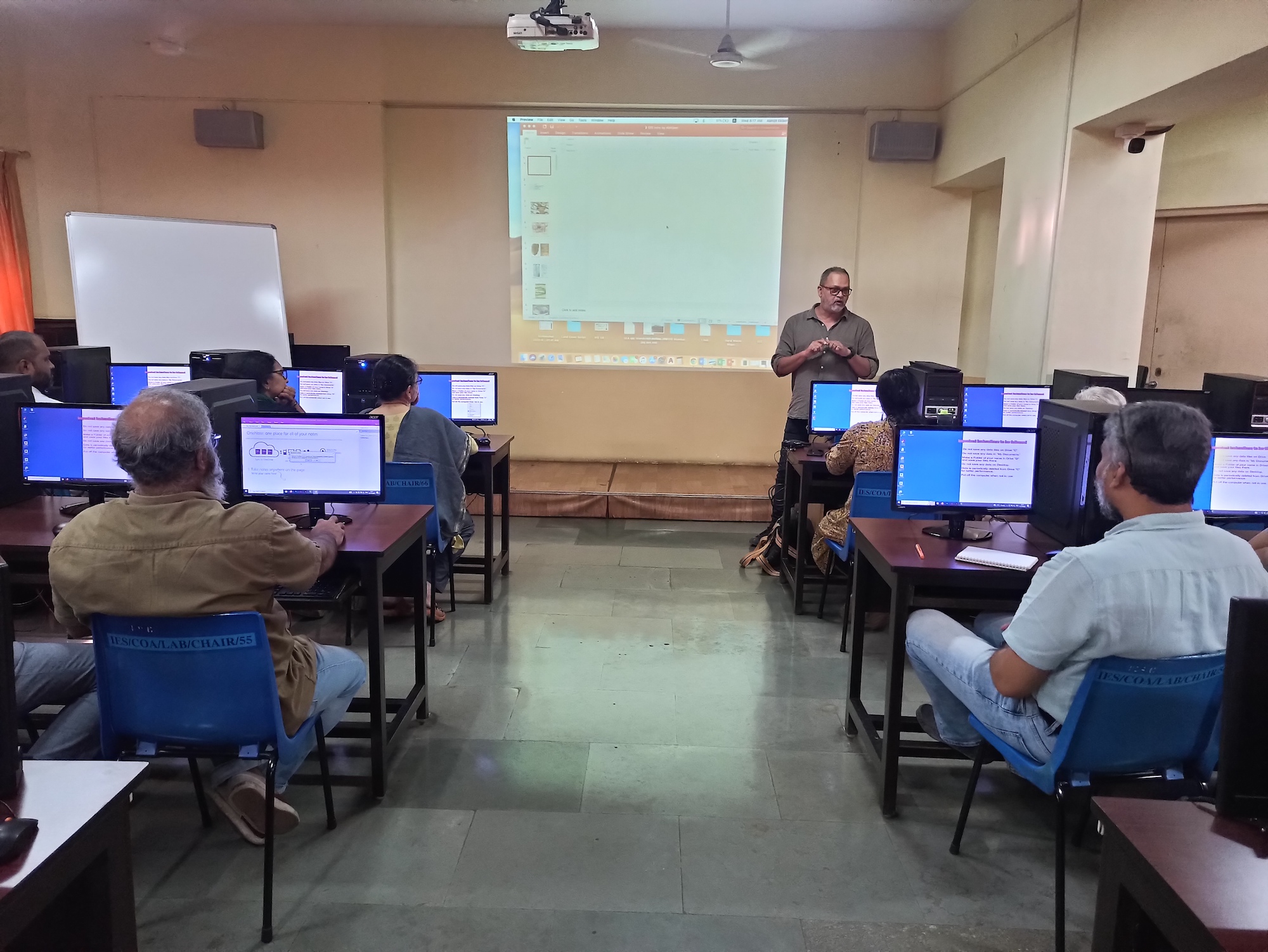
This was a 4 days GIS workshop for the faculty of IES college. Hands-on exercises were conducted on georeferencing, terrain analysis, creating vector data, designing attribute structure, joining attributes, styling and printing maps.
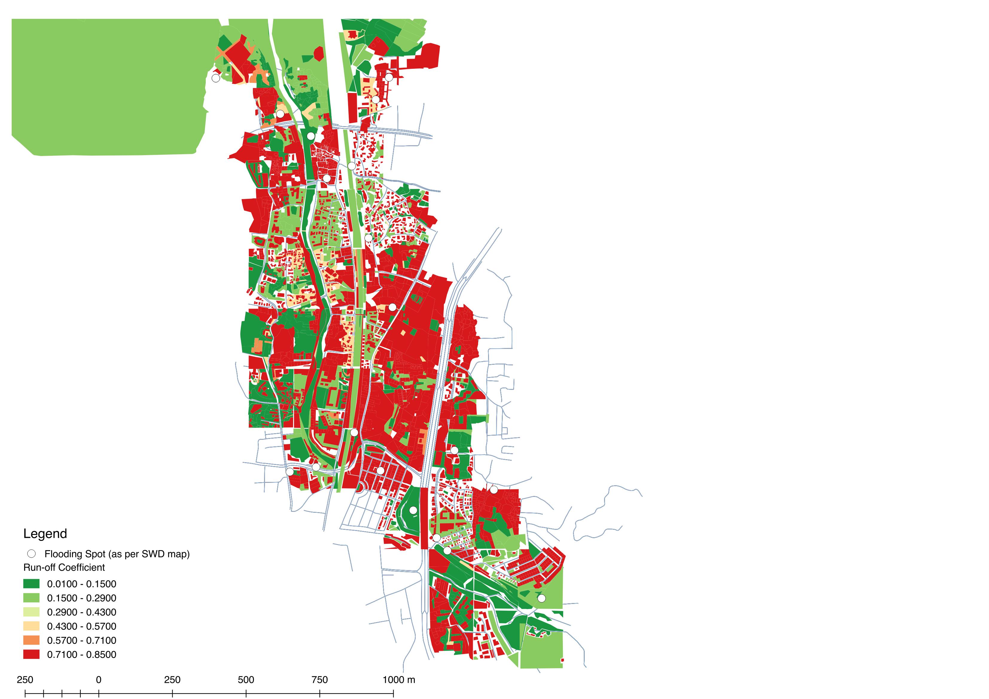
This module was conducted in collaboration with the World Resources Institute (WRI) which focussed on urban flooding as a pertinent issue. Mapping of run-off coefficients of various surfaces by ground truthing and then creating a GIS database was undertaken by the students. They subsequently highlighted key findings towards the end of the workshop.
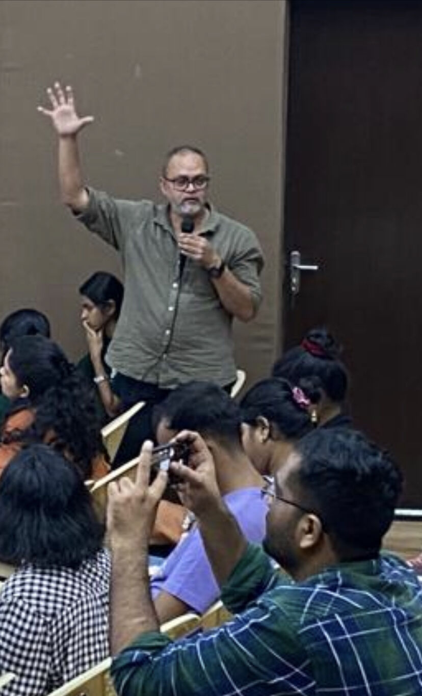
Urban planning & governance is increasingly relying on technology. Be it to extract details of land form, amenities available or geospatially map homes, livelihoods in informal settlements. GIS based mapping methods, slum census or surveys in informal settlements are technology driven – we question what has sparked this revolution, its politics, shortfalls and challenges and also bring to the discussion success stories of working with technology in informal settlements. This theme was explored in the form of presentations and a workshop where open source GIS software was introduced to participants. The GIS workshop was planned as a hands-on workshop for interested persons to know how maps are made, communicated and published. Exercises were undertaken where the volunteers from community based organisations were exposed to georeferencing and understanding the development plans of their own regions. The details of the symposium can be found here.

This work is licensed under a Creative Commons Attribution 4.0 International License